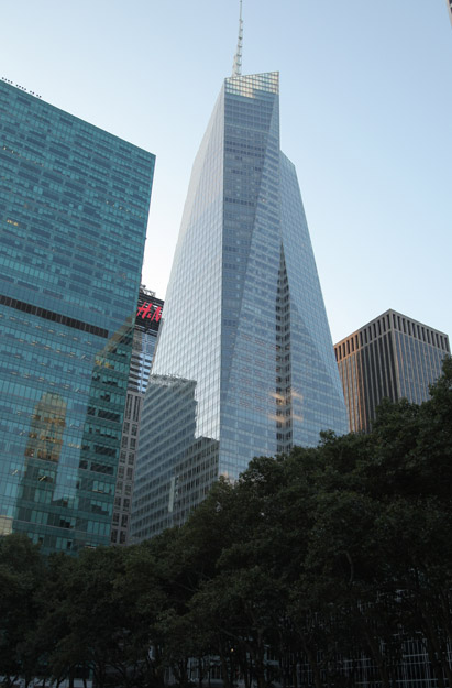
Adress: 130 West 20th StreetBorough: Manhattan, New York City
- Status: completed
- Construction completed: 2009
- Floor : 13
- Architect: H. Thomas O'Hara, Architect
- Building Type: Tall Building
Positioning on an old map
Plate 11 1885 1885
Positioning on an old map
North 14th Street West - 7th Avenue - map 1916 1916
Positioning on an old map
Chelsea s Farm 1815
Historic map finder tool
Picture of Prima - NYC
Publicity
Information about this place
This tall building designed by H. Thomas O'Hara, Architect was built in 2009
NewyorkBeforeID:21835 - 746 pageview since 2015-01-11
References
-
Search New York City buildings database
Near Subway station
-
23rd St
- LINE : 1-2
-
18th St
- LINE : 1-2
-
23rd St
- LINE : F-M
-
Interesting building around
Apartment TowerTall Building40.741843 -73.994816 21 Chelsea Apartments 21779 0 2002 88 120 West 21st Street, between 6th & 7th Avenues, south side 40.742809 -73.995176 Paradigm Condominium 21785 0 2004 159 146-148 West 22nd Street 40.740828659305144 -73.99691131704458 The Flynn 25158 11 2016 122 155 West 18th Street 40.741782 -73.996914 The Westminster 21466 15 2002 108 180 West 20th Street at 7th Avenue, SE corner 40.740917 -73.994712 Apex Technical School 21813 0 1902 102 635 Avenue of the Americas at 19th Street, northwest corner, through to 20th st 40.742668 -73.995731 Casa 21774 0 2008 136 155 West 21st Street 40.74251 -73.995508 Chelsea Green 21778 0 2013 120 151 West 21st Street 40.740868 -73.996192 Chelsea House 21544 0 2006 76 130 West 19th Street 40.741441 -73.995709 Prima 21835 13 2009 0 130 West 20th Street


