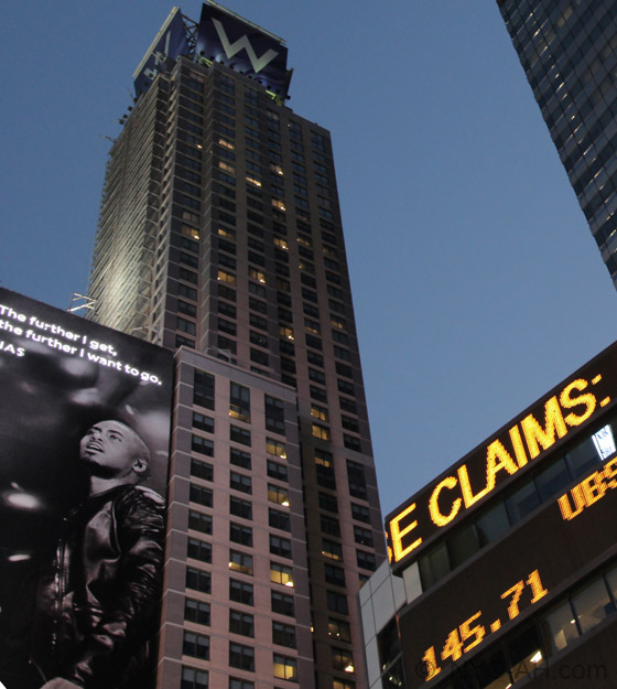
Adress: 225 East 34th StreetDistrict: Murray HillBorough: Manhattan, New York City
- Year completed: 2007
- Architect: HLW International
- Building Type: Tall Building
Positioning on an old map
Plate 13: Bounded by W. 40th Street, E. 40th Street, First Avenue (Harlem River, Lumber Yards), E. 27th Street, W. 27th Street and Sixth Avenue. 1885
Positioning on an old map
Farms of New York - old map 1815 1815
Historic map finder tool
Picture of The Charleston - NYC
About this place
Located in Murray Hill , this tall building design by HLW International was completed in 2007
To know more
NewyorkBeforeID:22308 - 610 pageview
- New York Map
-
Interesting building around
Apartment TowerTall Building40.74525910719797 -73.97632509469986 237 E 34th Street 26137 25 2017 54 237 East 34th Street 40.746769 -73.977033 200 East 36th Street 21323 19 1956 141 200 East 36th Street at 3rd Avenue, SE corner 40.744398 -73.97562 300 East 34th Street 22093 33 1973 163 300 East 34th Street at 2nd Avenue, SE Corner 40.744977 -73.977012 The Anthem 21003 0 2003 60 222 East 34th Street 40.745505 -73.97688 The Charleston 22308 0 2007 0 225 East 34th Street 40.746692 -73.975711 The Parker Crescent 21293 21 1963 165 225 East 36th Street


