- Year completed: 2000
- Architect: Meltzer Mandl Architects, PC
- Building Type: Tall Building
Positioning on an old map
Plate 13: Bounded by W. 40th Street, E. 40th Street, First Avenue (Harlem River, Lumber Yards), E. 27th Street, W. 27th Street and Sixth Avenue. 1885
Historic map finder tool
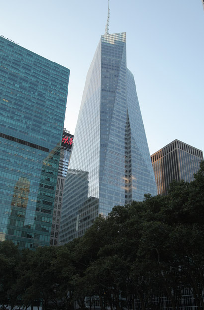
Picture of Berkley Park - NYC
About this place
340 East 29th Street in Kips Bay , this tall building design by Meltzer Mandl Architects, PC was built in 2000
To know more
NewyorkBeforeID:21525 - 664 pageview
- New York Map
-
40.740518 -73.976301 Henry Phipps Plaza East 21242 18 1972 38 485 1st Avenue at East 29th Street, SW corner 40.740014 -73.976972 344 East 28th Street 21013 0 1971 54 344 East 28th Street, SW corner 1st Avenue 40.741118 -73.977873 500 2nd Avenue 22220 0 1976 120 500 2nd Avenue 40.740466 -73.976741 Berkley Park 21525 0 2000 0 340 East 29th Street 40.739352 -73.977481 New York City Department of Health 21361 0 1965 139 455 1st Avenue at 26th Street, NW corner 40.741715 -73.977047 NYU Medical Center 21488 18 1988 141 316 East 30th Street, between 1st and 2nd Avenues


