Adress: 151 West 34th Street, New York, NY 10001District: MidtownDistrict: Garment DistrictBorough: Manhattan, New York City
- Year completed: 1901
- Floor : 10
- Architect: De Lemos & Cordes
- Phone: (212) 695-4400
- Building Type: Store
Positioning on an old map
1885 plate 14 1885
Positioning on an old map
Chelsea s Farm 1815
Historic map finder tool
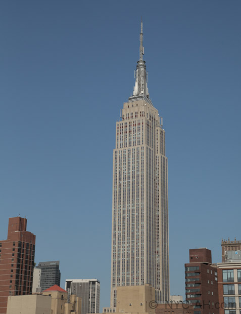
Picture of Macy's - NYC
Information
About this place
151 West 34th Street, New York, NY 10001 in Garment District , this store design by De Lemos & Cordes was built in 1901 This place is among the most popular of the city.
NewyorkBeforeID:23757 - 659 pageview
- New York Map
Near Subway station
-
Herald Sq - 34th St
- LINE : N-Q-R
-
34th St - Penn Station
- LINE : 1-2-3
-
Herald Sq - 34th St
- LINE : B-D-F-M
-
Interesting building around
OfficesTall BuildingParkStore40.748431 -73.98585 Empire State Building 20004 102 1931 371 350 5th Avenue 40.751695 -73.988843 142 West 36th Street 21213 18 1923 104 142-148 West 36th Street, between Broadway & 7th Avenue, south side 40.751926 -73.988264 135 West 36th Street 20833 0 1925 143 135 West 36th Street, between 6th & 7th Avenues 40.751935 -73.987931 1359 Broadway 20931 0 1925 158 1359 Broadway at West 36th Street, NW Corner 40.752012 -73.988443 141 West 36th Street 20878 22 1912 146 141 West 36th Street, between 6th & 7th Avenues 40.752016 -73.990329 462 7th Avenue 20762 24 1926 179 462 7th Avenue at 35th Street, NW corner 40.751928 -73.989404 469 7th Avenue 23063 0 1912 134 469 7th Avenue at West 36th Street, SE corner 40.751693 -73.989492 Arsenal Building 20880 0 1924 111 463 7th Avenue at West 35th Street, NE Corner 40.749923 -73.98968 International Children's Apparel Center 20999 20 1960 110 131 West 33rd Street 40.751435 -73.988639 Kaufman Arcade, North Building 21620 12 1922 81 132 West 36th Street, between Broadway & 7th Avenue, south side 40.749744 -73.988789 Kratter Building 20574 0 1954 115 112 West 34th Street to West 33rd Street 40.751126 -73.989873 Macy's Addition 20619 0 1924 84 149-59 West 34th Street 40.75027175177095 -73.98772206895956 Herald Square 23837 0 0 121 Manhattan - New York City 40.75076377561271 -73.98899853229523 Macy's 23757 10 1901 0 151 West 34th Street, New York, NY 10001

