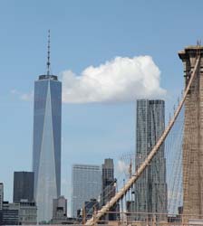
New York Map
Interesting building around
Offices

Tall Building

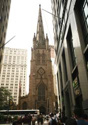
Church
Offices
Apartment Tower
Tall Building
Public Building
Hotel
Near playground
St. Paul's Chapel and Graveyard [+]
Address
District: Financial District
District: Downtown / Lower Manhattan
Borough : Manhatan
Architecture
Year built 1764
Storey 2
Designated as New York City Landmark - August 16, 196 Architects Thomas McBean
Picture
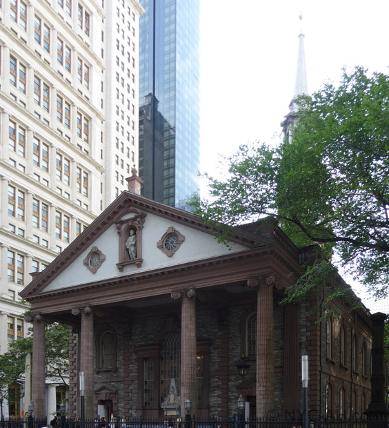
Janos Courville 2009
Building type
setKeyword
More about this building
Landmark notice(pdf)Near Subway station
-
Brooklyn Bridge - City Hall
- LINE : 4-5-6-6 Express
-
Broadway - Nassau St
- LINE : A-C
-
Fulton St
- LINE : 2-3
-
Park Pl
- LINE : 2-3
-
World Trade Center
- LINE : E
-
Fulton St
- LINE : J-Z
-
Chambers St
- LINE : J-Z
-
City Hall
- LINE : N-R
-
Cortlandt St (Temporarily Closed)
- LINE : 1
-
Fulton St
- LINE : 4-5
-
Cortlandt St (NB only)
- LINE : N-R
Next, Random
message contain
New York
4316 places - 802 images
copyright 2016-2025 NewYorkBefore.com - Architecture, Heritage & History in NYC - All Right Reserved
copyright 2016-2025 NewYorkBefore.com - Architecture, Heritage & History in NYC - All Right Reserved