New York Map
Interesting building around
Public Building
Offices
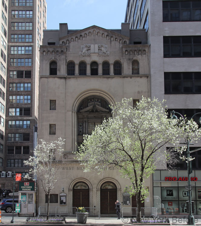
Church
Apartment Tower
Tall Building
Medical
Theater
Public Building
Hotel
Store
Near playground
Congregation Beth Israel West Side Jewish Center [+]
Address
347 West 34th
District: Hell's Kitchen / Clinton
District: Garment District
Borough : Manhatan
Architecture
Year built 1925
Storey 5
Architects Gronenberg & Leuchtag
Picture
Building type
ChurchKeyword
Near Subway station
-
34th St - Penn Station
- LINE : A-C-E
Next, Random
message contain
New York
4316 places - 802 images
copyright 2016-2025 NewYorkBefore.com - Architecture, Heritage & History in NYC - All Right Reserved
copyright 2016-2025 NewYorkBefore.com - Architecture, Heritage & History in NYC - All Right Reserved