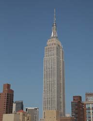
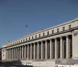
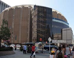
40.748431-73.98585Empire State Building200041021931519350 5th Avenue40.751222222222-73.99517777777Moynihan Train Hall at Penn Station23544419125448th Ave. between 31st and 33rd Sts., 40.7508649907644-73.99425029754639Madison Square Garden23565019684714 Pennsylvania Plaza40.748169-73.993184350 7th Avenue20944211927171350 7th Avenue, between 29th & 30th Streets40.745741-73.990396Archstone Chelsea20367362004188800 6th Avenue, between 27th and 28th Streets40.74646833942286-73.99094581604004Moxy Hotel 28th Street2607135201796105 West 28th Street40.747144-73.990839115 West 29th Street216550191377115 West 29th Street40.747854-73.990468115 West 30th Street2165601912138115 West 30th Street40.746761-73.991049116 West 29th Street216580191269116 West 29th Street40.747387-73.991257129 West 29th Street2165912191254129 West 29th Street40.747141-73.990871130 West 29th Street216510191574130 West 29th Street40.74708-73.99175134 West 29th Street21667019100134 West 29th Street40.747468-73.991407135 West 29th Street 216570191252135 West 29th Street40.747977-73.991969150 West 30th Street20940211925101150 West 30th Street, between 6th & 7th Avenues40.748007-73.992442345 7th Avenue2066701929118345 7th Avenue40.748444-73.993092352 7th Avenue21231161924189352 7th Avenue, between 29th & 30th Streets40.748462-73.992086363 7th Avenue20820221931156363 7th Avenue at West 30th Street, NE corner40.746731-73.993191Commercial Exchange Building2084801927127307 7th Avenue at West 28th Street, SE corner around Kheel Tower40.746162-73.99145Fairfield Inn New York Manhattan/Chelsea226580Feb 2010105116 West 28th Street40.746698-73.990782Fur Center Building217020192492104 West 29th Street40.746595-73.99141Hilton Garden Inn Chelsea211920200761121 West 28th Street40.748419-73.991804Huth Building2165401913149151 West 30th Street40.746867-73.992732Industrial Building209780192886150 West 28th Street40.746963-73.993223Kheel Tower2083101926125315 7th Avenue at 28th Street SE corner40.748098-73.990721PennCom Plaza21173181925143132 West 31st Street To West 30th Street40.747387-73.992839Seventh Avenue Building2092421192098333 7th Avenue40.747689-73.991151The Cass Gilbert209410192984130 West 30th Street, between 6th & 7th Avenues40.747862314917995-73.99146884679794NYPD old 23rd Precinct on West 30th Street235705190790 146 West 30th Street40.746336832267495-73.99076610803604101 West 28th Street25970322016117101 West 28th Street40.7466660454581-73.99160134798876Cambria Suites Chelsea2257118201448123-125 West 28th Street40.746964-73.991407DoubleTree Hotel New York City - Chelsea2087026200932128 West 29th Street40.746716-73.991718Hotel Indigo New York City-Chelsea2143518200941127 West 28th Street