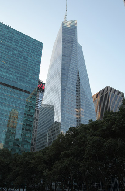
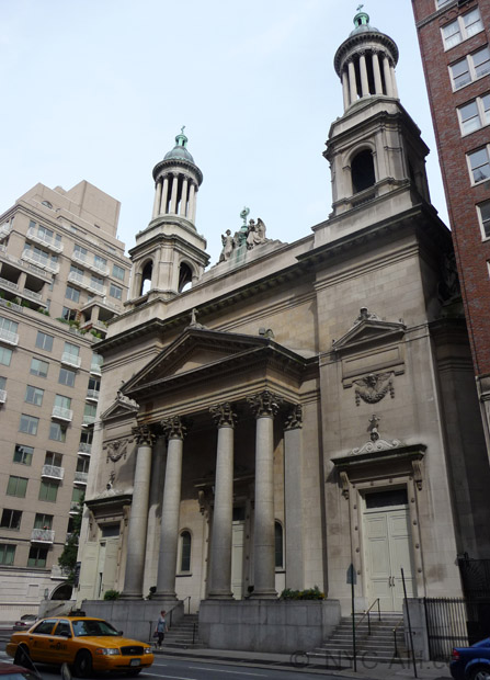
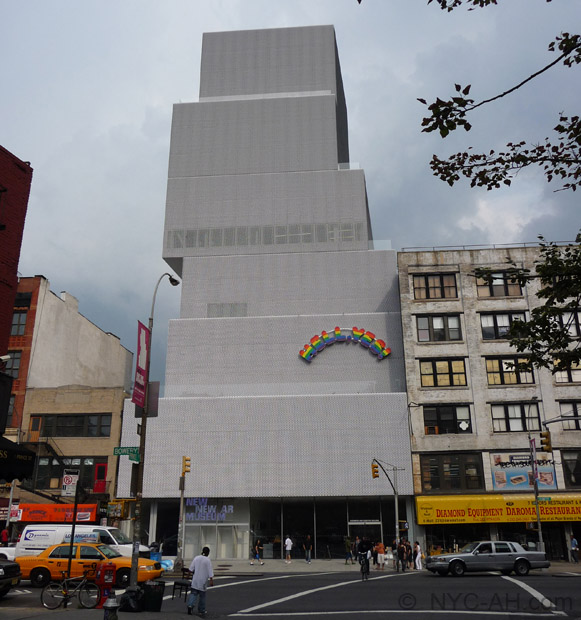
Adress: 331-341 West 42th StreetDistrict: Hell's Kitchen / ClintonBorough: Manhattan, New York City
341
Positioning on an old map
The NYPL DIGITAL COLLECTIONS Atlas of the borough of Manhattan, city of New York - 1916 plate 65 1916
Positioning on an old map
NYPL DIGITAL COLLECTIONS Atlas of the borough of Manhattan, city of New York - 1916 plate 71 1916
Positioning on an old map
Clinton in 1885 1885
Historic map finder tool
Picture of 331-341 W 42th Street - NYC
About this place
Located in Hell's Kitchen / Clinton , this
NewyorkBeforeID WEST_42_STREET.331-341, BIN: 1083731
This year comes from NYC DOB and may not be precise.
- New York Map
Near Subway station
-
42nd St - Port Authority Bus Term
- LINE : A-C-E
-
Interesting building around
OfficesChurchTall BuildingHotel40.757526 -73.991643 McGraw-Hill Building 20252 33 1931 64 330 West 42nd Street 40.75812115687094 -73.99122208356857 Church of the Holy Cross 23568 3 1870 15 329 West 42nd Street 40.759184 -73.989892 331 West 44th Street 21770 0 1929 176 331 West 44th Street, between 8th & 9th Avenues, north side 40.758217 -73.991552 Ivy Tower 20392 40 2003 22 343 West 42nd Street, 350 West 43rd Street 40.757361111111 -73.99166666666 McGraw-Hill Building 23479 0 1931 82 Manhattan - New York City 40.757936 -73.992223 The Orion 20097 58 2006 72 350 West 42nd Street 40.758771 -73.991962 The Presidential 20948 0 2003 92 360 West 43rd Street 40.758347 -73.991818 Holland Hotel 21249 20 1927 48 351 West 42nd Street


