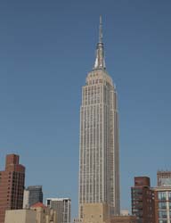
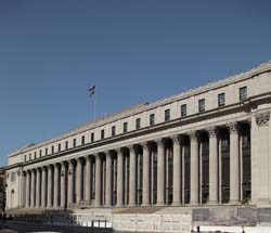
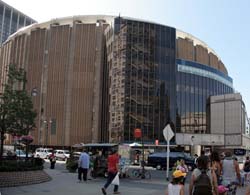
40.748431-73.98585Empire State Building200041021931394350 5th Avenue40.751222222222-73.99517777777Moynihan Train Hall at Penn Station23544019125468th Ave. between 31st and 33rd Sts., 40.7508649907644-73.99425029754639Madison Square Garden23565019684624 Pennsylvania Plaza40.74886723298042-73.99056360125542 Church of St. Francis of Assisi 2377421892113135 West 31st Street, New York, NY 1000140.747736520497185-73.98976027965546855 Sixth Avenue2590341201661855 Sixth Avenue40.747086-73.990173Beatrice2009353201089839 6th Avenue40.74646833942286-73.99094581604004Moxy Hotel 28th Street26071352017159105 West 28th Street40.748602-73.99034The Epic2009257200784125 West 31st Street40.74696396862415-73.98943305015564The NOMA2583524201813250 West 30th Street40.749143-73.989235100 West 33rd Street2129601910177100 West 33rd Street40.747144-73.990839115 West 29th Street216550191385115 West 29th Street40.747854-73.990468115 West 30th Street21656019120115 West 30th Street40.746761-73.991049116 West 29th Street2165801912131116 West 29th Street40.747387-73.991257129 West 29th Street2165912191284129 West 29th Street40.747141-73.990871130 West 29th Street216510191586130 West 29th Street40.74708-73.99175134 West 29th Street2166701910138134 West 29th Street40.747468-73.991407135 West 29th Street 216570191290135 West 29th Street40.749139-73.991123Equitable Life Assurance Society Building2043001924153393 7th Avenue at 31st Street, NE corner, through to 32nd Street40.746698-73.990782Fur Center Building2170201924131104 West 29th Street40.748496-73.989862Gimbels Administration Building2104516191288132 West 32nd Street, between 6th & 7th Avenues, to 119 West 31st Street40.74822-73.989379Greeley Square Building20566251927100875 6th Avenue at West 31st Street, NW Corner40.748031-73.990181Hampton Inn Manhattan-Madison Square Garden Area215790Feb 200531116 West 31st Street40.746595-73.99141Hilton Garden Inn Chelsea2119202007161121 West 28th Street40.748419-73.991804Huth Building2165401913129151 West 30th Street40.748098-73.990721PennCom Plaza2117318192534132 West 31st Street To West 30th Street40.747689-73.991151The Cass Gilbert209410192960130 West 30th Street, between 6th & 7th Avenues40.748411-73.989197The Continental20149472011124885 6th Avenue40.747862314917995-73.99146884679794NYPD old 23rd Precinct on West 30th Street235705190784 146 West 30th Street40.746837685654896-73.98941695690155842 Sixth Avenue26272252021144842 6th Avenue40.748716-73.991665Affinia Manhattan20547311930139371 7th Avenue at West 31st Street, SE Corner40.7466660454581-73.99160134798876Cambria Suites Chelsea22571182014163123-125 West 28th Street40.746964-73.991407DoubleTree Hotel New York City - Chelsea20870262009127128 West 29th Street40.746716-73.991718Hotel Indigo New York City-Chelsea21435182009165127 West 28th Street40.7470652742072-73.9894863367953830th Street Hay Market2614600121Manhattan - New York City